FLIR Systems Sensor Maps cctv software with scale legend display
Technical Specification

- Make: FLIR Systems
- Model code: Sensor Maps
- Software Type: Surveillance Software
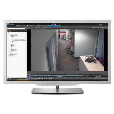
The FLIR Sensor Maps Tool is a software component that allows systems integrators to easily manage and display geo-referenced information from sensors in their applications. This ActiveX is optimised for efficient rendering of dynamic information and real-time updates from multiple sensors over raster and vector map layers. Its rich programmer's interface offers easy implementation of icons, camera cones, radar symbology, cursor modes, alarm areas and different graphical tools for scales and distance. Optional technical support and Professional Services packages are available from FLIR Networked Systems.
Read more| Make | FLIR Systems |
|---|---|
| Manufacturer | FLIR Systems |
| Category | CCTV>CCTV software |
| Model code | Sensor Maps |
| Software Type | Surveillance Software |
| Additional info | The FLIR Sensor Maps Tool is a software component that allows systems integrators to easily manage and display geo-referenced information from sensors in their applications. This ActiveX is optimised for efficient rendering of dynamic information and real-time updates from multiple sensors over raster and vector map layers. Its rich programmer's interface offers easy implementation of icons, camera cones, radar symbology, cursor modes, alarm areas and different graphical tools for scales and distance. Optional technical support and Professional Services packages are available from FLIR Networked Systems. |
| Download PDF version Download PDF version | |
You might be interested in these products


- See other FLIR Systems products
- FLIR Systems IP cameras
- FLIR Systems Storage
- FLIR Systems IP Dome cameras
- FLIR Systems Network video recorders (NVRs)
- FLIR Systems CCTV monitors
Related Whitepapers

Lawrence, Massachusetts deploys FLIR video system for safety

How to catch shoplifters with thermal imaging

Future-proof IP surveillance for harsh environments